Tropics blog | Tracking Beryl
Live updates on Tropical Storm Beryl
TALLAHASSEE, Fla. (WCTV) - 11 a.m. Monday | Beryl is weakening as it moves inland.
It is now a tropical storm with winds of 70 mph.
Beryl is located roughly 20 miles from Houston, Texas and moving north/northeast at 13 mph.
9:45 am Monday | Hurricane Beryl made landfall near Matagorda, Texas around 5 a.m. eastern on Monday.
Beryl roared ashore with winds of 80 mph and a minimum pressure of 979 mb.
As of the 10 a.m. advisory from the National Hurricane Center, Beryl is carrying winds of 75 mph and a pressure of 981 mb as it moves north at 12 mph.

Shortly after 8:30 a.m. local time, officials reported more than 1.5 million customers without power in the area.
Gradual weakening is anticipated Monday as Beryl moves inland, but the flooding threat and a tornado threat will remain across eastern Texas and portions of Arkansas.
A Level 3/4 Moderate risk of excessive rainfall includes portions of Texas, southeastern Oklahoma and southwestern Arkansas.

A Level 3/5 Enhanced risk of severe weather is in place for parts of eastern Texas, northwestern Louisiana and southwestern Arkansas. In this zone, we could see spin-up tornadoes associated with Hurricane Beryl.

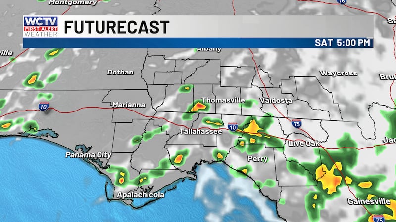
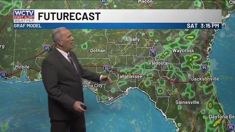
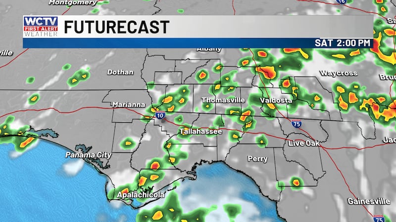
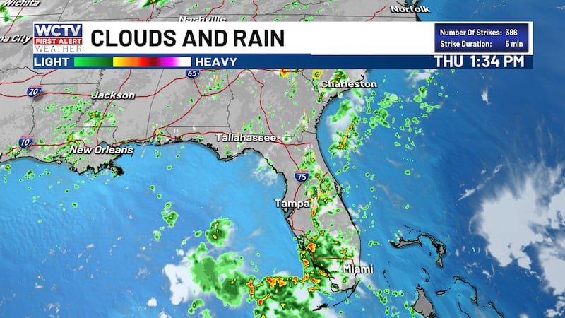
We have no direct impacts in the Big Bend or South Georgia from Beryl, but the rip current risk will remain high along our beaches through midweek. For the latest forecast from Meteorologist Rob Nucatola, click here.
12:15 am Monday | Beryl has strengthened into a hurricane as it nears the Texas coast.
It is currently a Category 1 storm with winds of 75 mph. The minimum pressure is 985 mb.
8:50 pm Sunday | As expected, Tropical Storm Beryl is gaining strength as it nears the Texas coast this evening. As of the 8 p.m. advisory from the National Hurricane Center, Beryl has maximum winds of 70 mph and a minimum pressure of 987 mb.
The storm is located roughly 100 miles from Matagorda, Texas and moving north/northwest at 12 mph.
Further strengthening is expected tonight. The NHC anticipates Beryl to reach Category 1 Hurricane strength with winds of 85 mph.

As a result, people along the Texas coast are preparing for heavy rain, strong winds and storm surge.
A Hurricane Warning extends from Port Aransas, Texas through Brazosport, Texas. A Tropical Storm Warning is in effect for areas like Corpus Christi and Galveston.

A Storm Surge Warning runs from Sabine Pass through Corpus Christi. From Matagorda Bay to Galveston Bay, the NHC is forecasting 4-7 feet of storm surge.

Landfall is expected near Matagorda, Texas early Monday morning.
Beryl will quickly weaken as it moves inland, but the impacts will be felt far away from the coast. Portions of eastern Texas and Arkansas could pick up 4-6″ of rain with locally higher amounts.
We have no direct impacts in the Big Bend or South Georgia from Beryl, but the rip current risk will remain high along our beaches through midweek. For the latest forecast from Meteorologist Cameron Aaron, click here.
9:00 am Sunday | Tropical Storm Beryl is located in the Gulf of Mexico, about 200 miles from Matagorda, Texas. Beryl has sustained winds of 60 mph and is moving towards the NW at 12 miles per hour.
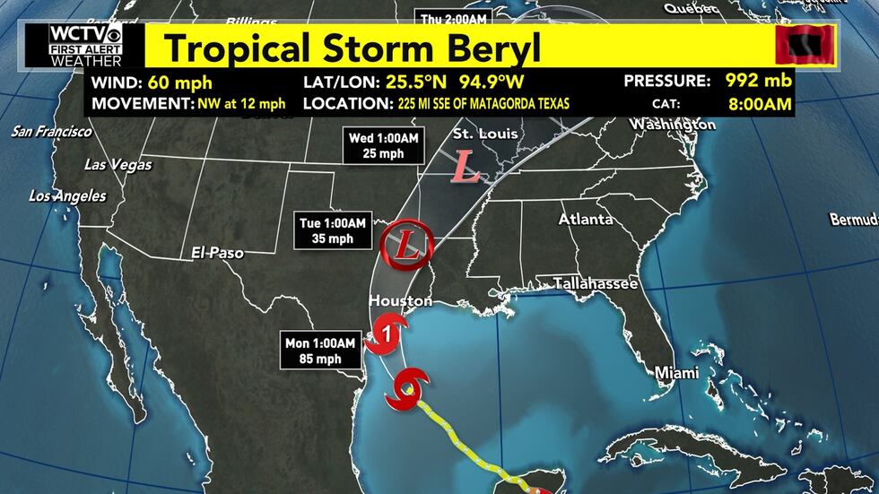
Beryl will take advantage of low wind shear & warm open ocean waters over the next 24 hours before making landfall. Those two factors aid in the strengthening of tropical systems.
As of 9:00 am on Sunday, a hurricane warning is in effect for the Gulf Coast of Texas between Corpus Christi and Galveston. A hurricane warning indicates that hurricane conditions (sustained winds of 74 mph or higher) are expected somewhere within the specified area.
After making landfall, Beryl will begin to weaken again and eventually become a rainmaker as it travels up the country.
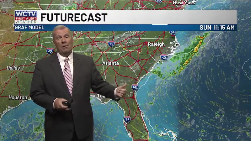
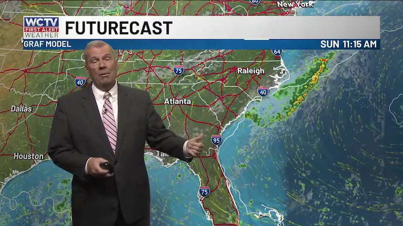
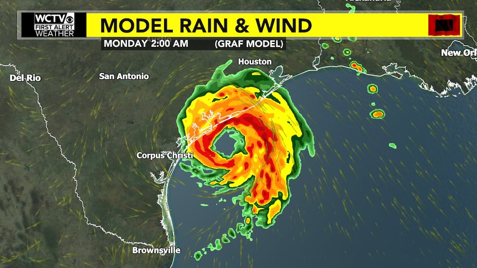
WCTV’s in-house computer model shows a well-organized hurricane approaching the Texas coastline early Monday morning.
Local impacts will be confined to a high rip current risk along the beaches of North Florida today. Here’s the latest forecast from Meteorologist Josh Green: https://www.wctv.tv/2024/07/07/hot-humid-with-more-chances-pm-showers-thunderstorms/
11:35 pm Saturday | Meteorologist Cameron Aaron breaks down the 11 p.m. advisory on Tropical Storm Beryl from the National Hurricane Center. You can watch below:
9:00 pm Saturday | The 8 p.m. advisory from the National Hurricane Center shows little change in the strength of Tropical Storm Beryl.
Beryl has sustained winds of 60 mph and a pressure of 997 mb. It is moving northwest at 13 mph, and Beryl is located roughly 330 miles southeast of Corpus Christi, Texas.

Tropical Storm Beryl spent much of Saturday trying to reorganize in the Gulf of Mexico after a landfall on the Yucatan Peninsula.
With a favorable environment in the Gulf for tropical systems, the National Hurricane Center is forecasting Beryl to strengthen into a hurricane on Sunday as it approaches the Texas coast.
A Hurricane Warning is in place for areas like Corpus Christi, Port Aransas, Rockport and Port Lavaca.

A Tropical Storm Warning includes Galveston.

Along with rain and wind, people along the coast are also preparing for storm surge. The NHC is forecasting 3-5 feet of storm surge near Corpus Christi Bay and 4-6 feet of storm surge near Matagorda Bay. A Storm Surge Warning is in place for much of the coast.

Beryl will weaken quickly as it moves inland, but the flooding threat could increase for areas like Houston, Tyler and Texarkana. Beryl could dump several inches of rain across eastern Texas and parts of Arkansas through early next week.

Landfall is expected late Sunday/early Monday along the Texas coast. If Beryl makes landfall in Texas as a hurricane, it will be the first since Hurricane Nicholas in 2021.
We have no direct impacts in the Big Bend or South Georgia from Beryl, but the rip current risk will remain high along our beaches this weekend. For the latest forecast from Meteorologist Cameron Aaron, click here.
9:00 am Saturday | Tropical Storm Beryl is located in the Gulf of Mexico, about 500 miles from Corpus Christi, Texas. Beryl has sustained winds of 60 mph and is moving towards the west-northwest at 12 miles per hour.
Beryl was downgraded from a hurricane to a tropical storm due to land interaction with the Yucatan Peninsula. Once the supply of warm ocean water is cut off from a tropical system, it will quickly weaken and become disorganized.
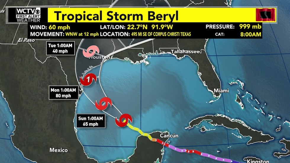
Beryl will have a fresh supply of warm open water as it travels across the Gulf of Mexico this weekend. This should provide an adequate amount of time for Beryl to reorganize and strengthen back into a hurricane before making landfall along the Gulf Coast of Texas on Monday.
As of 9:00 am on Saturday, a Hurricane Watch was in place for much of the Texas coastline. A Hurricane Watch means that hurricane conditions are possible in the specified area of the watch within 48 hours.
WCTV’s in-house computer model shows a well-organized hurricane approaching the Texas coastline early Monday morning.
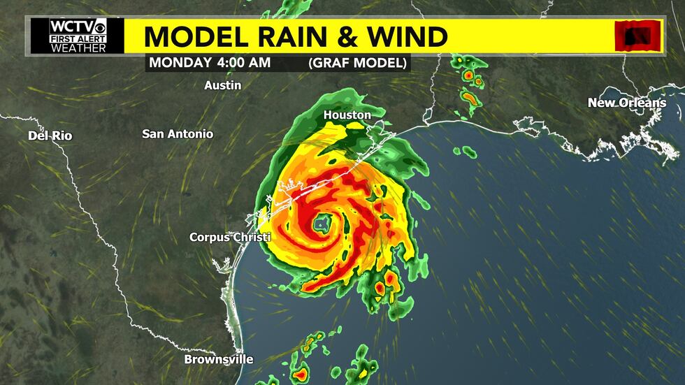
Local impacts will be confined to a high rip current risk along the beaches of North Florida this weekend. Here’s the latest forecast from Meteorologist Josh Green: https://www.wctv.tv/2024/07/06/another-heat-advisory-effect-saturday/
To stay updated on all the latest forecasts and weather, follow WCTV First Alert Weather on Facebook and X (Twitter).
Click here to see all the latest weather headlines and here to view the First Alert Radar. Receive push alerts and watch the latest forecast anytime on the free WCTV First Alert Weather app. Click here to download it now.
Interested in becoming a WCTV First Alert Weather Watcher? Click here to join the team!
Copyright 2024 WCTV. All rights reserved.